Geopacks
USA laminated Political Wall Map
USA laminated Political Wall Map
SKU:USA-POL
Regular price
$47.00 USD
Regular price
Sale price
$47.00 USD
Unit price
per
Tax included.
Shipping calculated at checkout.
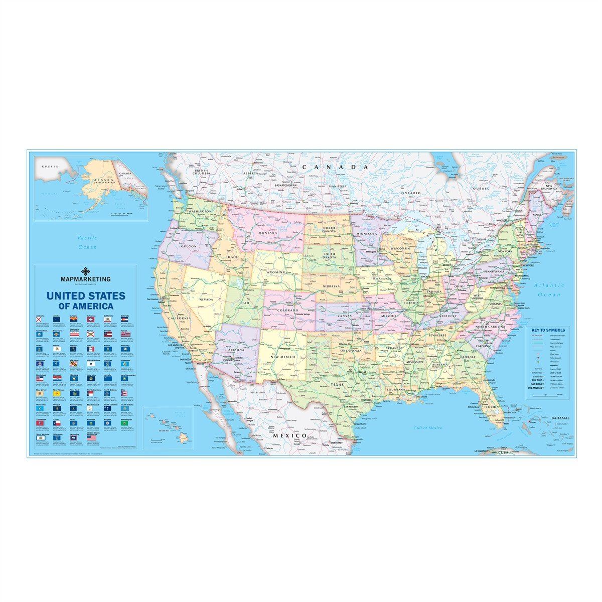
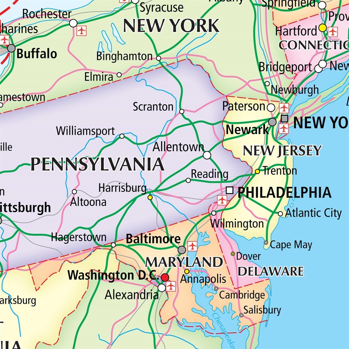
This very clean and clear USA political map shows each State in a different colour as well as principal cities and towns divided into six separate population bands. It also shows the main road network with Interstate highways highlighted, railways, main airports, State capitals, State and international boundaries are all marked. The new USA political map also includes a key panel showing the flag for each US State detailing the State capital, population and geographical size.
Size: 67 x 118 cm (26 x 47 inches). Scale: 1:5,700,000 (90 miles to 1 inch)
Couldn't load pickup availability