Geopacks
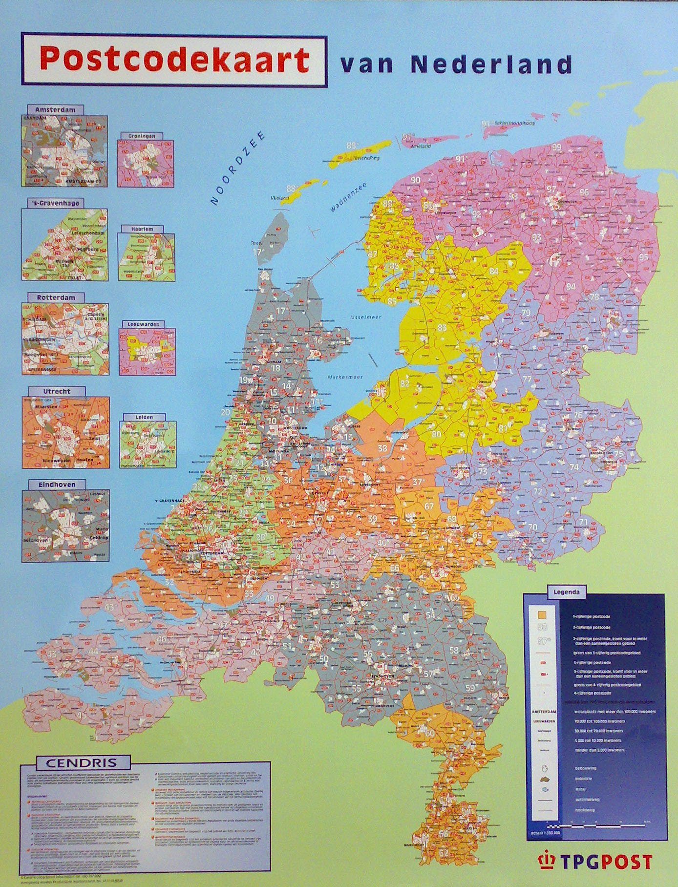
Netherland Postcodes Wall Map
Netherland Postcodes Wall Map
SKU:ACNETHPC-AL
Couldn't load pickup availability
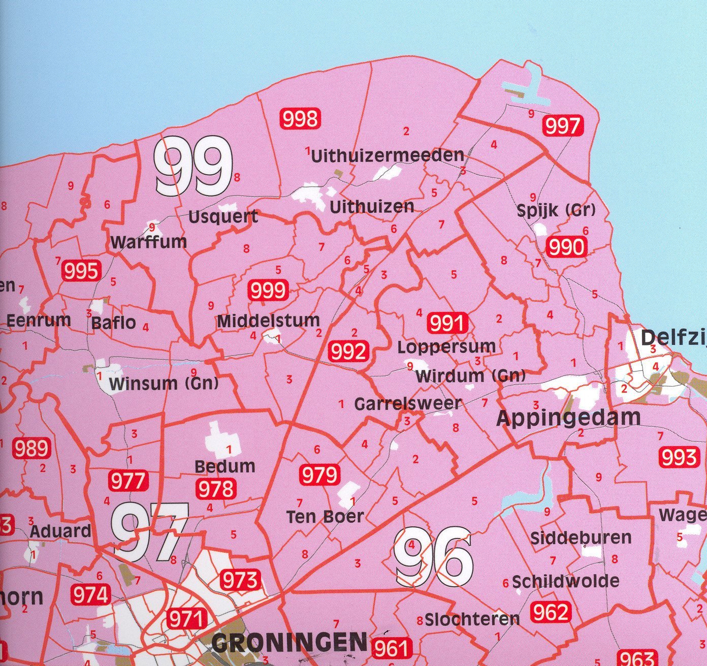
Detailed postcode map covering the Netherlands, each postcode area boundary is clearly defined. The map also includes all major road routes and cities throughout the country. Displayed down the right hand side of the map are nine city inserts showing major cities, these include Amsterdam, Rotterdam and Eindhoven.
Size: 128 x 100 cm. Scale: 1:285 000 (4.5 miles to 1 inch).
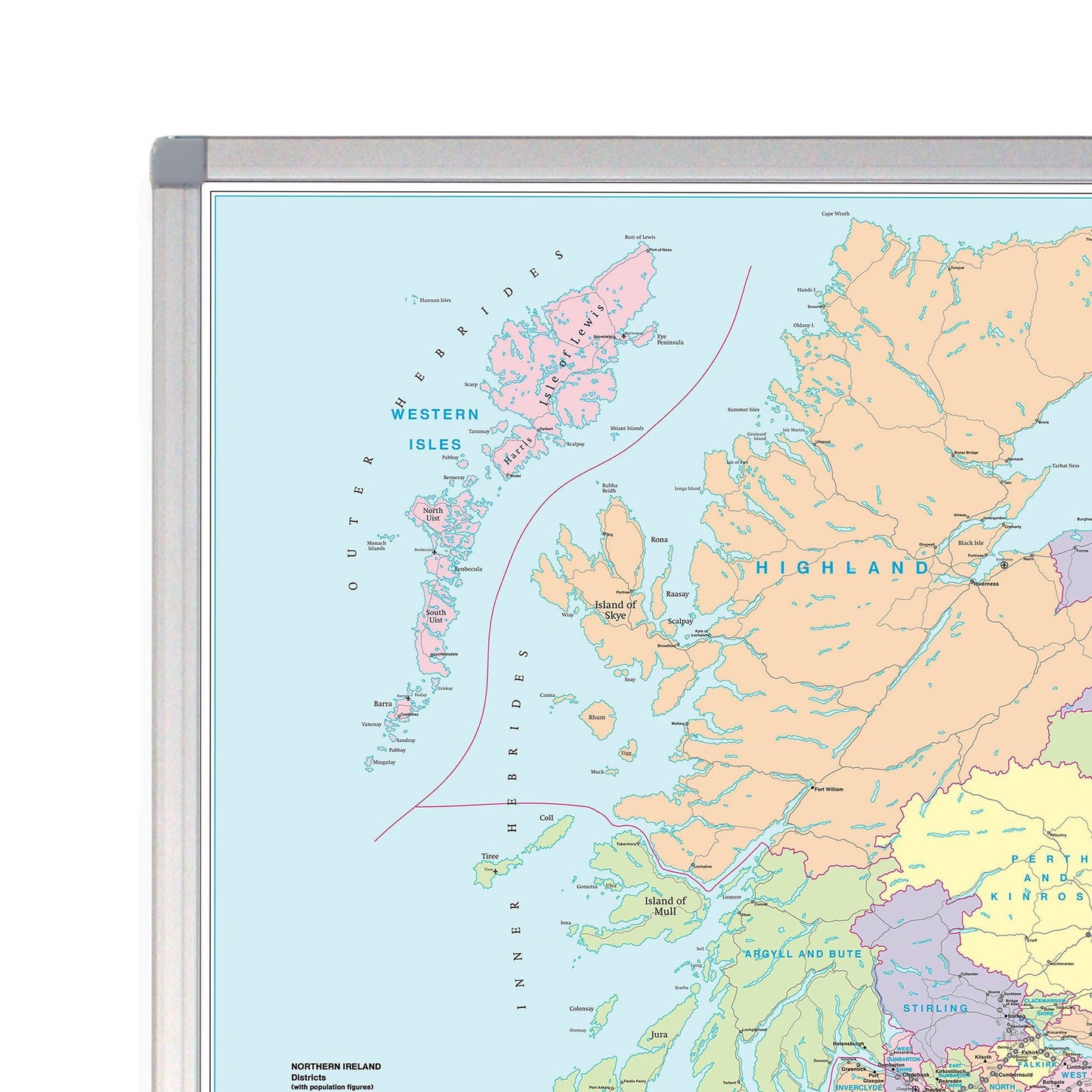
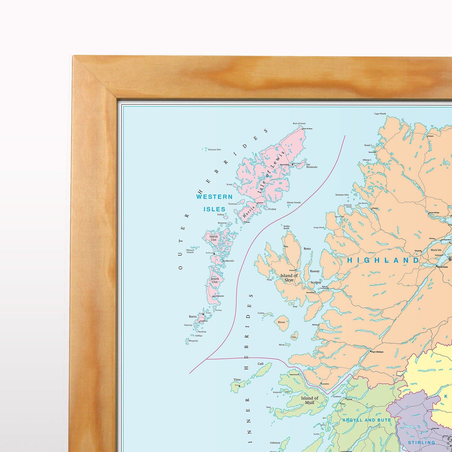
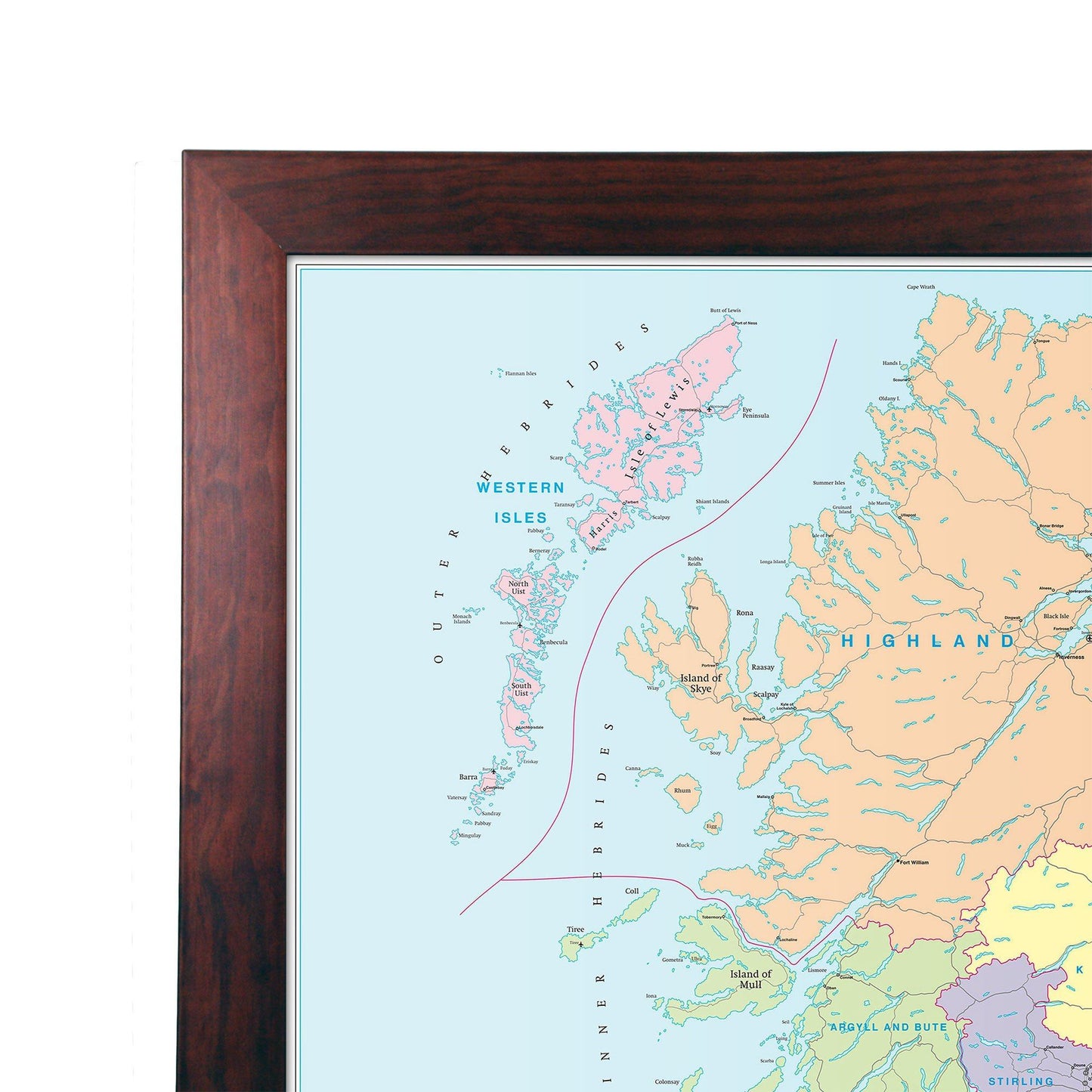
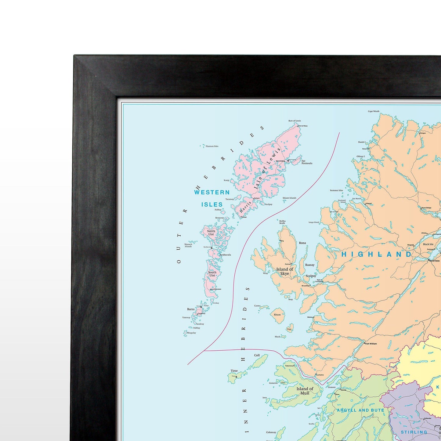
This map is permanently bonded between two sheets of tough, flexible, crystal-clear plastic. This finish allows you to “write on, wipe off” with dry or wet wipe pens. This map is also available laminated and framed in either superb satin-finish aluminium (metal backing optional) or light, black or dark wood supplied ready to display.