Geopacks
Polish Administrative Wall Map - Poland Map
Polish Administrative Wall Map - Poland Map
SKU:ACPOLAND
Couldn't load pickup availability
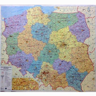
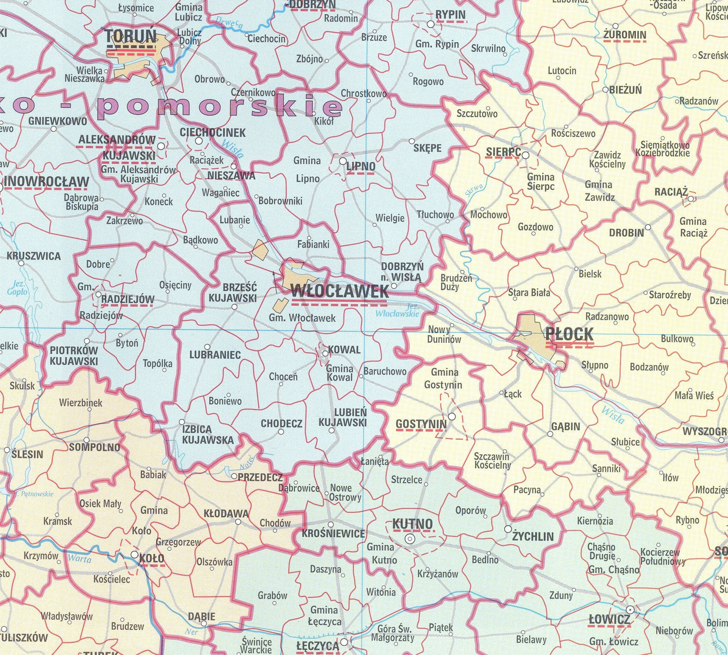
An administrative map of Poland, with each of the 16 Provinces (wojewodztwa) marked in different colours. Each Province is subdivided into its relevant districts and a basic road network is shown in the background. An insert shows the Katowice industrial district in more detail. The legend is in Polish.
Size: 98 x 89 cm. Scale: 1:750,000 (12 miles to 1 inch).
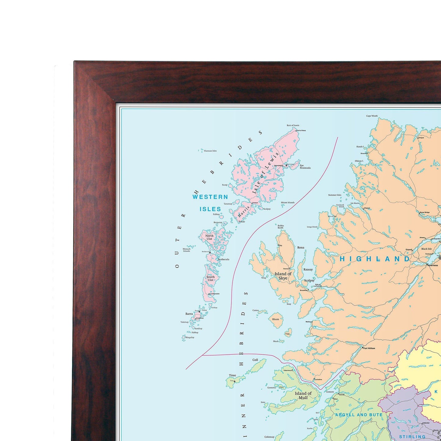
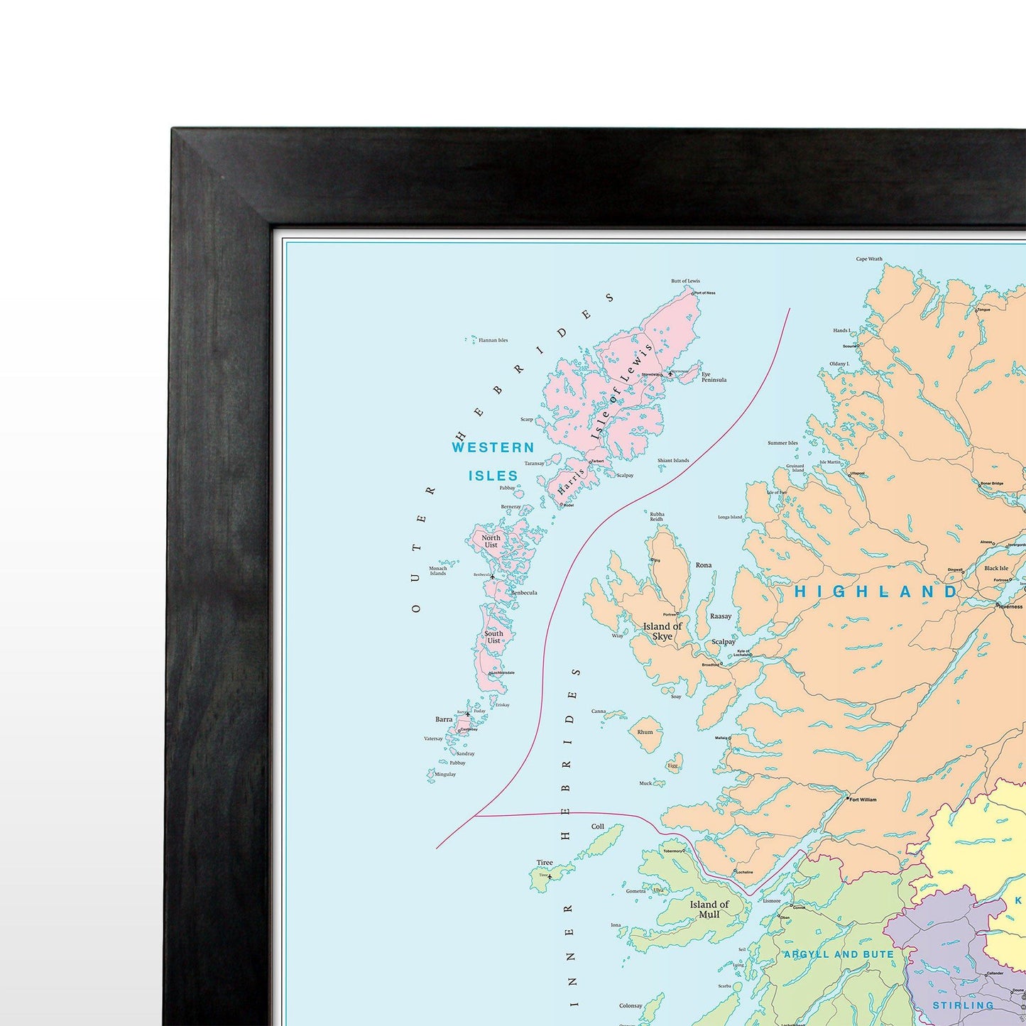
This map is permanently bonded between two sheets of tough, flexible, crystal-clear plastic. This finish allows you to “write on, wipe off” with dry or wet wipe pens. This map is also available laminated and framed in either superb satin-finish aluminium (metal backing optional) or light, black or dark wood supplied ready to display.