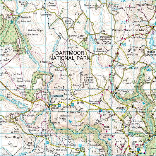
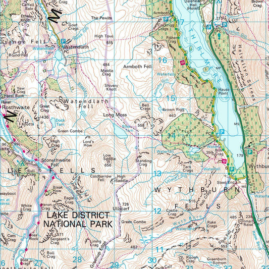
Collection: National Park Maps
The UK’s most popular National Parks printed using the Ordnance Survey's iconic outdoors activity, 1:50 000 Landranger mapping. Each map shows the whole of the National Park area with additional space around the park boundary.
Large format printed wall maps, non-folded, ideal for planning walking routes, cycling trips or just for display. The laminated finish is ideal for write on – wipe off use with dry erase pens and the framed version has a pin board backing for the use of pins.
The maps take into account National Park boundary changes implemented in 2016.