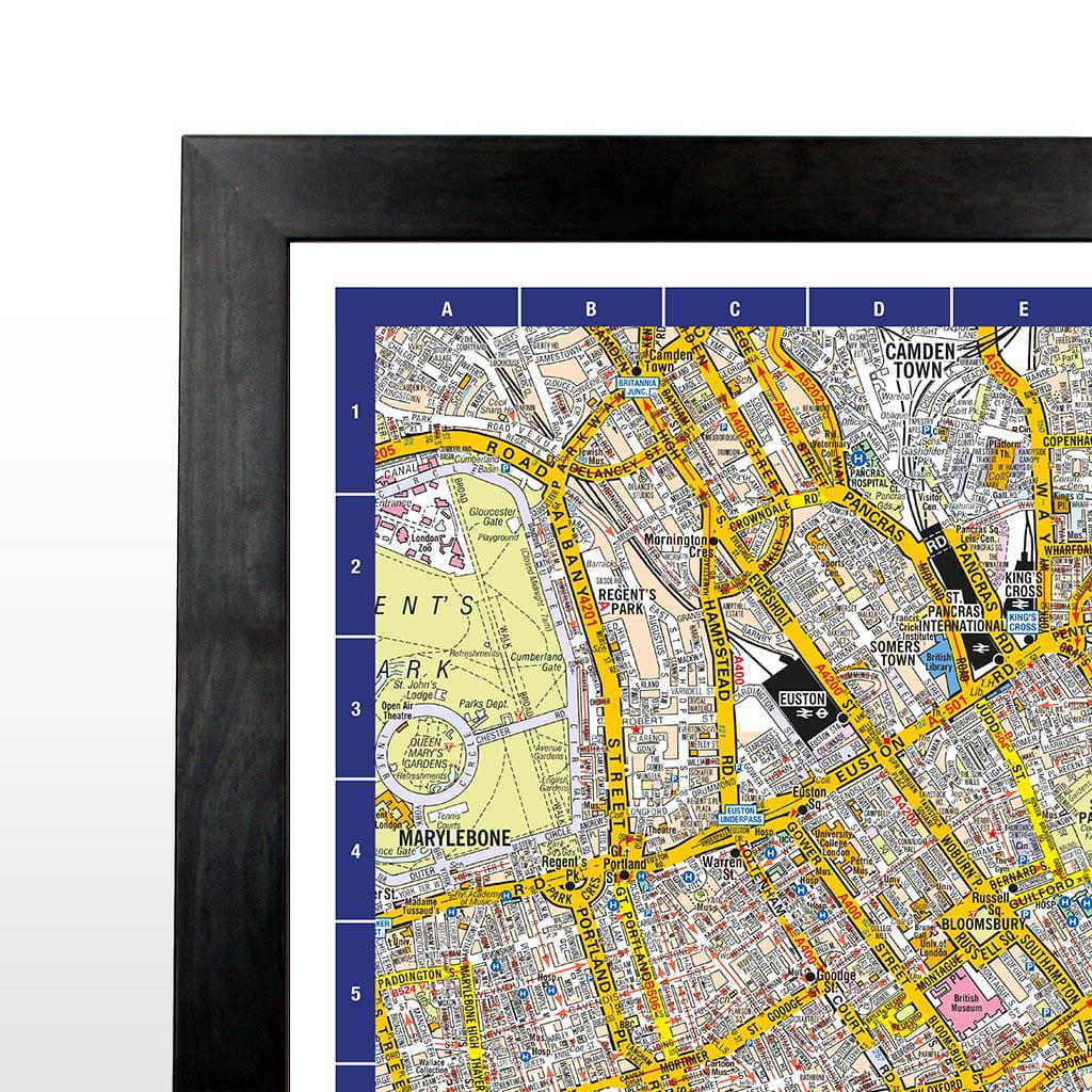
Explore the heart of the capital with the A-Z Map of Central London Wall Map, a comprehensive and highly detailed street map covering London's most iconic districts, landmarks, and transport connections. Produced using trusted A-Z cartography, this large-format wall map is an invaluable reference for businesses, organisations, visitors, and London residents alike.
Covering key areas including Westminster, The City, Southwark, Soho, Covent Garden, Marylebone, Shoreditch and more, the map clearly displays streets, major roads, public buildings, parks, railway stations, and points of interest. The easy-to-use grid reference system allows for quick location finding and efficient route planning.
Perfect for offices, meeting rooms, logistics operations, travel companies, hotels, educational settings, and anyone needing an accurate overview of Central London.
Scale: 1:7,200 / 8.8 inches to 1 mile / 14 cm to 1 km
Map it, frame it, enjoy it! Each framed map is laminated front and back for added protection and durability.
Size: 105.8 x 83cm