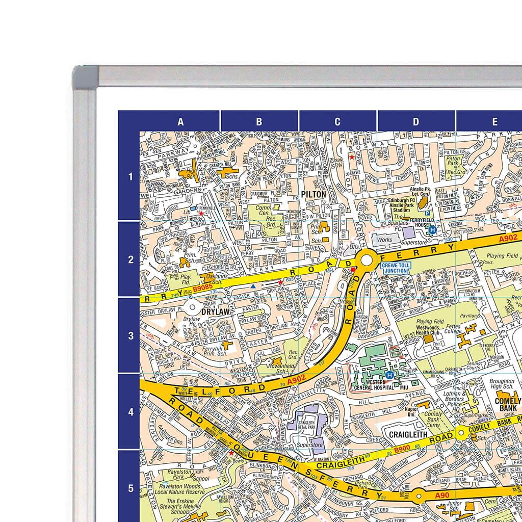
Explore Scotland’s capital in detail with the A-Z Map of Edinburgh Wall Map, a clear, easy-to-read reference map featuring the trusted accuracy of A-Z cartography. Perfect for both professional and personal use, this comprehensive wall map provides extensive coverage of Edinburgh’s streets, districts, major road networks and key landmarks.
Ideal for route planning, business use, education, navigation and exploring the city, the map clearly covers Edinburgh city centre and surrounding areas. Major roads, transport links, parks, neighbourhoods and key points of interest are all clearly highlighted, while the handy grid reference system makes finding locations quick and easy.
Whether you're planning routes, managing field operations, teaching local geography or simply want a detailed map of Scotland’s capital at your fingertips, the A-Z Edinburgh Wall Map is a fantastic addition to any home, classroom or workspace.
Scale: 1:7,200 / 8.8 inches to 1 mile / 14 cm to 1 km
Map it, frame it, enjoy it! Each framed map is laminated front and back for added protection and durability.
Size: 117.5 x 91.5 cm