Map Marketing
Counties UK Wall Map (Laminated)
Counties UK Wall Map (Laminated)
SKU:BIC-18
Regular price
$50.00 CAD
Regular price
Sale price
$50.00 CAD
Unit price
per
Tax included.
Shipping calculated at checkout.
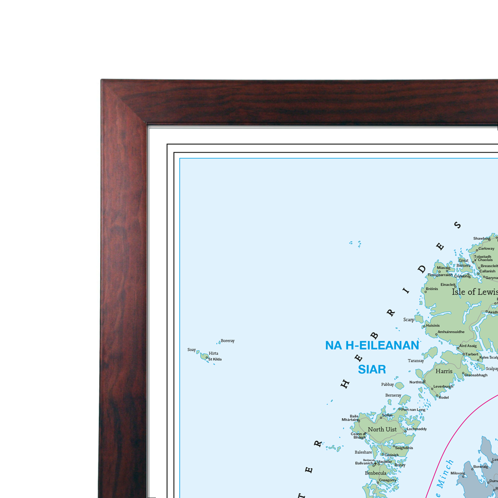
A very detailed map of all the Counties in the United Kingdom.
This map shows all the County, District and Unitary Authority boundaries within the UK and divisions of each County in its local District Council areas are clearly shown. Each area is shown in different colours to differentiate from its neighbours, making it easier to pinpoint each boundary. Includes motorways and primary roads and features seven types of town/city 'stamps' based on population ranging from 2,000 to 1,000,000+ inhabitants. Figures for all the regions shown on the map are given based on information supplied by the Local Government Commission.
Specifications:
Size: 120 x 83 cm (47 x 33 inches).
Scale: 1:800 000 (12 miles to 1 inch)
Updated December 2025.
Couldn't load pickup availability