Geopacks
London A-Z Wall Map - Premier Edition
London A-Z Wall Map - Premier Edition
SKU:PREM
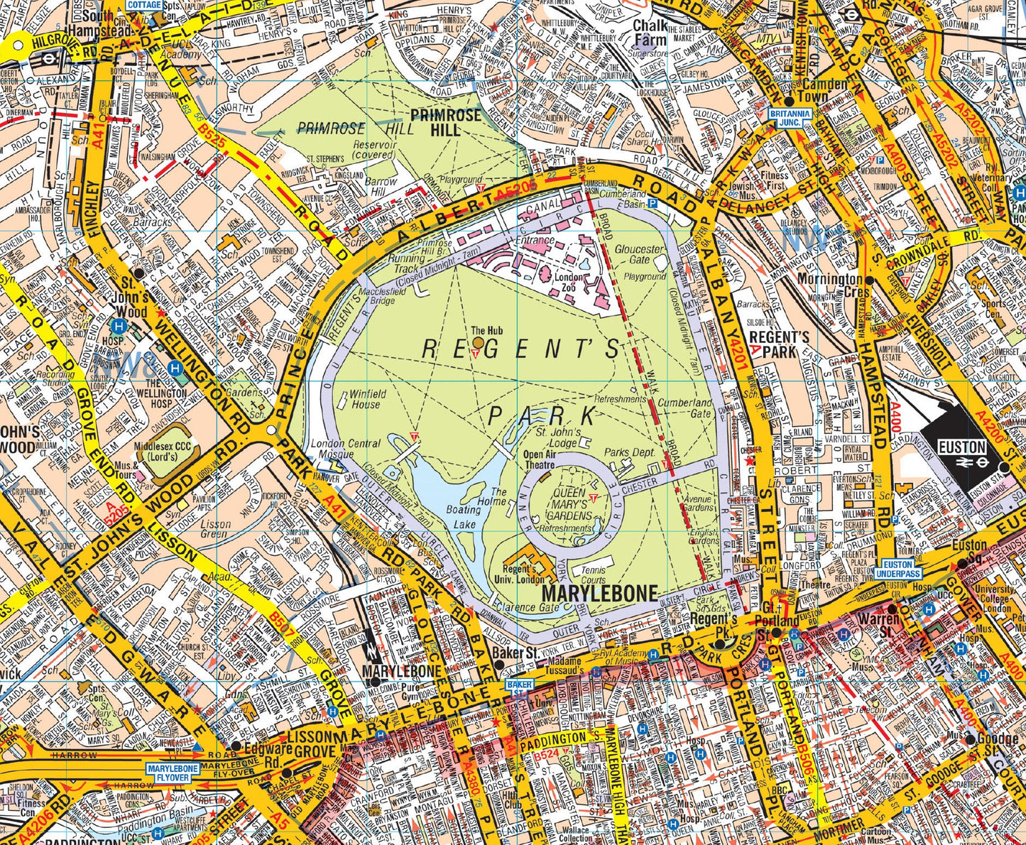
A-Z Wall Map of London - Premier Edition
This A-Z wall map of London is fully coloured street map. It covers Central London and extends to Hornsey, Plaistow, Streatham and Chiswick. Postal districts and borough boundaries are featured on the map. Railways, railway stations and underground stations are clearly marked, and colours distinguish sites of interest and various other buildings e.g. schools and shops. Hospitals, post offices, emergency services and car parks are also featured.
A-Z maps are well known to be one of the best maps for finding your way round the City as it clearly shows landmarks and useful information such as Underground Stations and other public buildings. 
- Size: 120 x 95cm (Approx)
- Scale: 1:21 477 (0.33 miles to 1 inch)
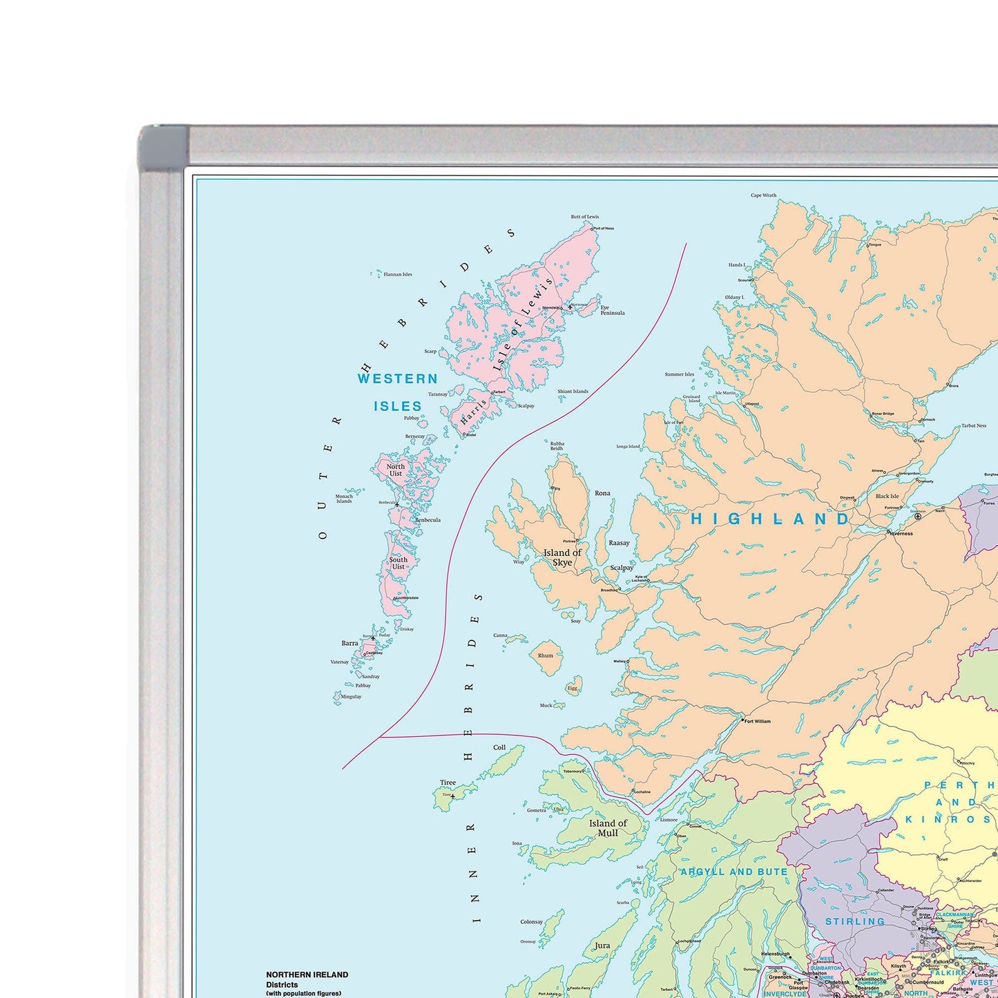
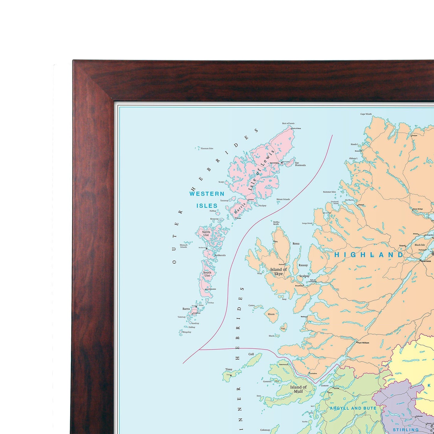
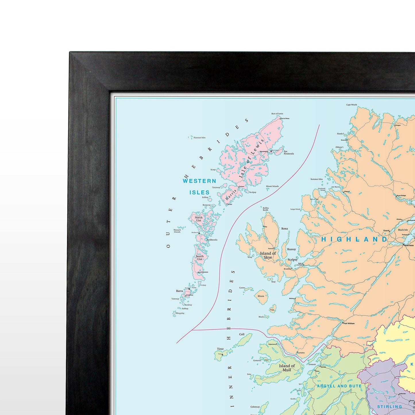
This map is permanently bonded between two sheets of tough, flexible, crystal-clear plastic. This finish allows you to “write on, wipe off” with dry or wet wipe pens. This map is also available laminated and framed in either superb satin-finish aluminium (metal backing optional) or light, black or dark wood supplied ready to display.
Mapping updated April 2023 EDITION 13
Couldn't load pickup availability