Geopacks
Loch Lomond & Trossachs - UK National Park Wall Map
Loch Lomond & Trossachs - UK National Park Wall Map
SKU:BESPLOCH
Regular price
£ 34.99 GBP
Regular price
Sale price
£ 34.99 GBP
Unit price
per
Tax included.
Shipping calculated at checkout.
A large wall map of the Loch Lomond National Park printed using the UK’s most iconic mapping for outdoor activities; the Ordnance Survey’s base.
Mapping printed at the full 1:50000 scale, 2cm = 1km. The wall map shows the whole of the Loch Lomond National Park area with additional space around the park boundary.
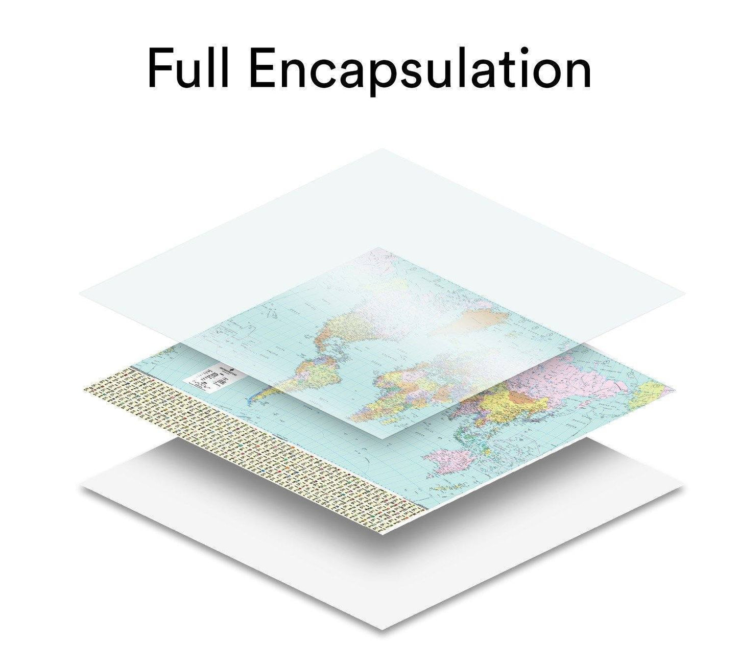
Available in a durable encapsulated finish, supplied rolled. This lamination is ideal for use with non-permanent pens to write on – wipe off, perfect for route planning.
The framed version is also laminated and has a pin board backing for the use of pins, which makes for a fantastic display board for recording hikes and adventures.    
Print Size: 120 x 140cm
Orientation: Landscape
Scale: 1:50,000/ 2cm = 1km
Mapping:  Ordnance Survey
Key towns included: Balloch, Aberfoyle, Callander, Killin
Couldn't load pickup availability