Map Sherpa
Collins Children's World Wall Map
Collins Children's World Wall Map
SKU:MS-CWORLD-R
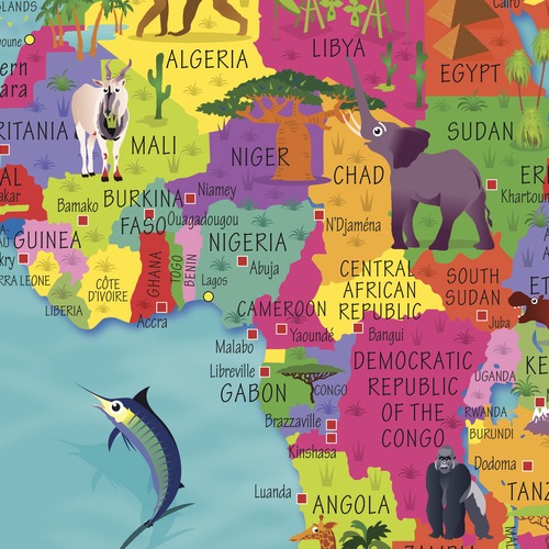
Packed with vibrant colours and engaging details, the map clearly shows countries and capital cities, while captivating illustrations highlight national symbols, traditions, famous landmarks, local foods, wildlife, sports and more.
Designed to make learning fun, it's an ideal introduction to geography for children aged 4-8 years, helping them develop a better understanding of the diverse people and places that make up our world.
Expertly illustrated by Steve Evans and printed on premium-quality heavyweight paper, this map is durable enough for classroom displays, school libraries, bedrooms and playrooms alike. Each map is carefully rolled and packed in a sturdy protective tube to ensure it arrives in perfect condition.
Available formats:
- Folded map
- Rolled wall map
- Front laminated wall map
Perfect for schools, libraries, nurseries, classrooms and educational spaces, as well as families looking to make learning geography fun and interactive.
Couldn't load pickup availability
Share