Map Sherpa
Detailed World Colouring Map
Detailed World Colouring Map
SKU:MS-WORCOL
Encourage creativity, exploration and learning with this engaging World Colouring Map, designed to make geography fun for children while supporting educational development in schools, classrooms and at home.
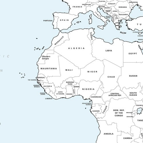
Featuring a clear and easy-to-read world map with country borders and names, it also includes state and province boundaries for the USA and many other countries, helping young learners build a broader understanding of the world around them.
Perfect as an educational gift, classroom resource or family activity, this map invites children to colour, personalise and explore different countries while reinforcing their geographical knowledge. Printed on premium heavyweight matte paper, it's ideal for use with coloured pencils, markers, crayons and acrylic paints, making it suitable for a wide range of creative projects.
Each map is carefully rolled and packaged in a sturdy protective tube to ensure it arrives in excellent condition.
A fantastic resource for schools, libraries, learning spaces and families looking to combine creativity with discovery.
Couldn't load pickup availability
Share