Geopacks
Northern Ireland Road Map - Wall Map of Northern Ireland
Northern Ireland Road Map - Wall Map of Northern Ireland
SKU:NI
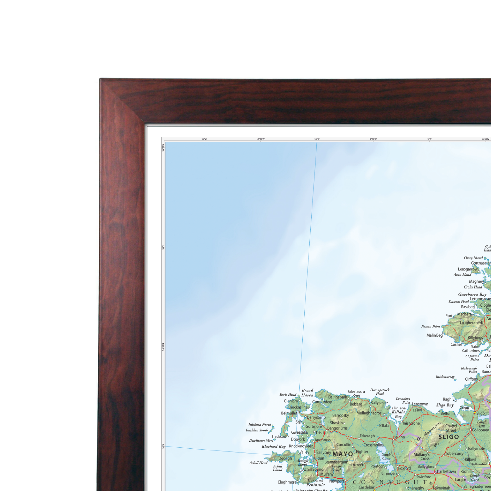
A large wall map of Northern Ireland that can be laminated or framed.
This Northern Ireland road map is ideal for planning travel either for business or pleasure. Motorways, primary routes, roads and many‚ A/B roads are clearly displayed to help you identify routes.
Ferry routes and railway lines can also be found within the map and can be identified using the legend placed to the right hand side of the map. The border line is also clearly displayed.
Size: 81 x 105.9 cm
Scale: 1:210,000 (3.3 miles to 1 inch / 2.1 km to 1cm)
This map is permanently bonded between two sheets of tough, flexible, crystal-clear plastic. This finish allows you to ‚'write on, wipe off' with dry or wet wipe pens. This map is also available laminated and framed in either superb satin-finish aluminium or light, black or dark wood frame supplied ready to display.
Map updated April 2026
Couldn't load pickup availability
Share